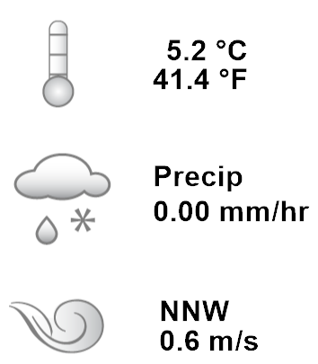
Ridgetop StationView of the Ridgetop environmental monitoring stationThe solar panel powers the Ridgetop station. The white tube shaped monitor slightly above it monitors air temperature and relative humidity. Above that are the solar monitors GSAR and PAR and the wind speed and direction monitor. The cage on the bottom right holds the rain gauge. Measuring rain at the Ridgetop monitoring stationThe rain gauge has a balance measuring device which seesaws back and forth as it fills up with rain water. Each time it spills represents one cubic millimeter of rain water. Wind monitors at the Ridgetop environmental sensor stationThe wind speed and direction monitors at the Ridgetop station. Record Type: Station Activation Date: Jan. 1, 1995 Archived Data: Sensor Data - Ridgetop Station Description:
The Ridgetop Station and the Open Lowlands Station were the first environmental monitoring stations built, in 1996. They measure the same data, the former on the ridgetop and the latter in the open lowlands, but they are located close enough to each other that the weather differences between them can be largely attributed to their different altitudes.
Keyword: Environmental Monitoring Stations |
Related Records
|